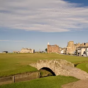
Home > Europe > United Kingdom > Scotland > Fife > St Andrews
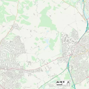
St Albans AL5 2 Map

![]()
Wall Art and Photo Gifts from Map Marketing
St Albans AL5 2 Map
Postcode Sector Map of St Albans AL5 2
Media ID 19965090
Broadfields Church Green Douglas Road Fairway Close Garden Close Glendale Close Hay Lane Longcroft Avenue Manor Close Maple Road Moreton Avenue Netherfield Road Oak Way Oakfield Road Oakwood Drive Old Rectory Close Orchard Avenue Park View Prospect Lane Rosebery Avenue Salisbury Avenue St Albans St Albans Road St Andrews Avenue The Bourne The Drive The Uplands The Warren Townsend Close Townsend Lane Wheatfield Road Harpenden
FEATURES IN THESE COLLECTIONS
> Arts
> Artists
> P
> Joseph Pennell
> Europe
> United Kingdom
> Scotland
> Fife
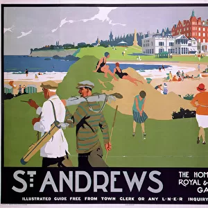
> St Andrews
> Map Marketing
> Postcode Sector Maps
> AL - St Albans
> Maps and Charts
> Related Images
MADE IN THE USA
Safe Shipping with 30 Day Money Back Guarantee
FREE PERSONALISATION*
We are proud to offer a range of customisation features including Personalised Captions, Color Filters and Picture Zoom Tools
SECURE PAYMENTS
We happily accept a wide range of payment options so you can pay for the things you need in the way that is most convenient for you
* Options may vary by product and licensing agreement. Zoomed Pictures can be adjusted in the Cart.